
RedKalion
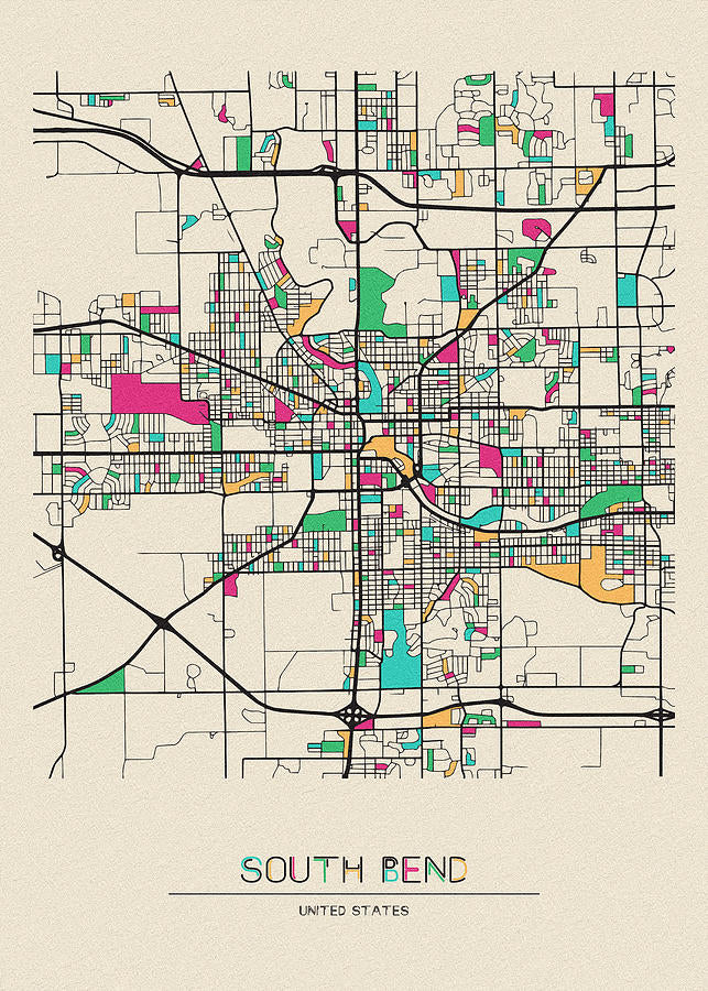
South Bend, Indiana City Map Art Print | RedKalion
South Bend, Indiana City Map Art Print | RedKalion
Couldn't load pickup availability
This premium art print of the South Bend, Indiana city map offers a detailed cartographic representation of the city's layout, capturing its historical urban development and key landmarks. Created with precision, it serves as both a functional reference and a decorative piece, ideal for those with ties to this Indiana city or an appreciation for vintage-style cartography.
Historical Context of the South Bend Map
South Bend, Indiana, founded in the early 19th century along the St. Joseph River, grew into an industrial hub known for manufacturing and education. This map reflects the city's expansion, highlighting neighborhoods, streets, and institutions that shaped its identity. As a visual document, it provides insight into the urban planning and growth patterns of a Midwestern American city.
Stylistic Analysis of the City Map of South Bend Indiana
The map employs a classic cartographic style with clear typography, symbolic icons for landmarks, and a balanced color palette that enhances readability. Its design prioritizes accuracy while maintaining aesthetic appeal, making it suitable for framing in homes or offices. The intricate detailing of roads and points of interest invites closer inspection, revealing the city's character through its geographic features.
Why Choose This Map of South Bend Indiana Print
RedKalion's reproduction ensures museum-quality fidelity, using archival materials to preserve the map's original charm. Our expertise in fine art printing guarantees that every line and label is crisp, offering a timeless piece that honors South Bend's heritage. This print is more than decor; it's a curated artifact for enthusiasts of history, geography, or local pride.
Print Specifications & Materials
- Available Sizes: 75×100 cm / 30×40″, 40×50 cm / 16×20″, 21×29.7 cm / 8×12″
- Paper Finishing: Matte, uncoated, natural white (off-white)
- Acid-Free: pH above 7 to prevent yellowing over time
- Paper Weight: 250 gsm (110 lb) | Thickness: 0.29 mm (11.4 mils)
- Sustainable Paper: FSC-certified
Display this South Bend, Indiana city map art print to celebrate the city's legacy with a piece that combines historical significance and artistic merit, available exclusively from RedKalion.


Discover Unlimited Art Possibilities
At RedKalion, you can find virtually any artwork from any artist, available in a wide range of sizes to perfectly match your space.
If you didn’t find what you’re looking for, contact us at support@redkalion.com . We will source any artwork and produce it in any size and format you need, including art prints, posters, canvas, framed pieces, framed canvas, and more.
For dedicated art enthusiasts, we also offer handcrafted replicas of any artwork, carefully painted by highly skilled artists using traditional techniques.
For custom requests, contact us at support@redkalion.com .
What details are included in this South Bend, Indiana city map?
This map features streets, neighborhoods, landmarks, and geographic elements of South Bend, Indiana, with accurate labeling for historical reference and navigation.
What paper is used for this fine art print of the map of South Bend Indiana?
We use FSC-certified, acid-free paper with a matte finish and 250 gsm weight to ensure durability and prevent fading, ideal for long-term display.
How is this city map of South Bend Indiana shipped?
Prints are carefully rolled in protective tubes and shipped via tracked delivery to ensure safe arrival, with options for domestic and international orders.
How long will this art print last without yellowing?
With acid-free materials and archival standards, this print resists yellowing for decades, maintaining its quality under proper display conditions.
What historical period does this South Bend map represent?
This map depicts South Bend's urban layout from its industrial growth era, highlighting key developments and infrastructure that defined the city.
Are there specific landmarks highlighted on this map?
Yes, it includes notable sites such as the University of Notre Dame, the St. Joseph River, and historic districts, offering a comprehensive view of the city.